


 13 / 36

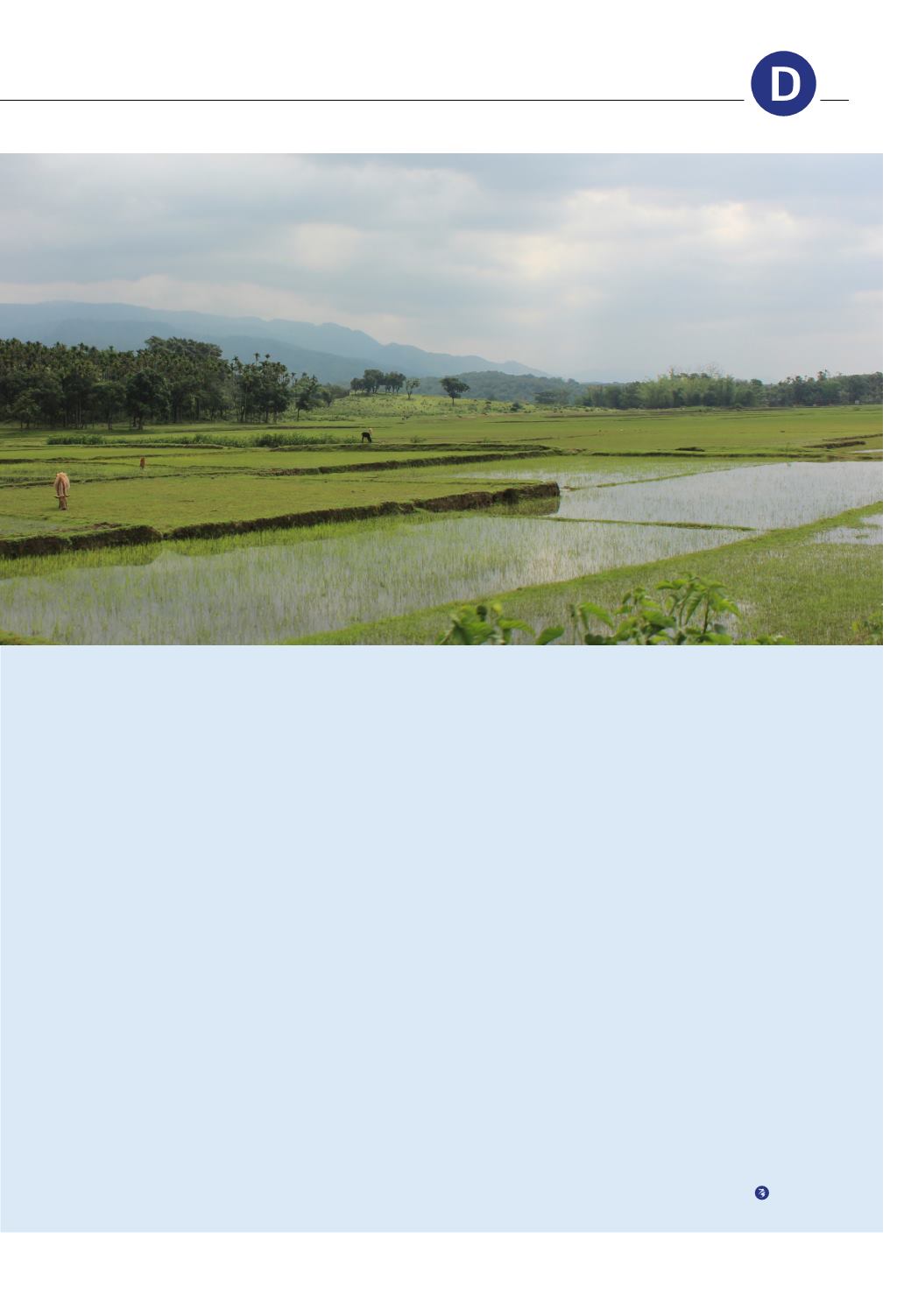
expanding population and as the basis
for economic development.
Sea-level rise and cyclones make
flooding more likely but, on the other
hand, there are water shortages during
dry periods.
To meet these challenges, the govern-
ment teamed up with the Dutch
embassy last year to start on the
development of the Bangladesh Delta
Plan. As in the Dutch Delta Programme,
the aim is to produce a comprehensive
plan based on a long-term vision of
the delta’s future. It is being developed
by a team of experts from Bangladesh
and the Netherlands.
The Delta Plan is adaptive and dynamic
in the sense that it takes the unpre
dictability of future developments
into account, not only in terms of
climate change, but also in terms of
economic development, population
rise and regional collaboration. So
the Delta Plan is not just a one-off
exercise: it will also establish the basis
for the permanent management of the
delta, emphasising socio-economic
development.’
Senior water management
consultant Herman van der
Most is exploring possible
ways of limiting flood risks
in the area of the old capital
of Thailand.
‘The area around Thailand’s old
capital, Sukhotai, is flooded almost
annually by the River Yom. The floods
can sometimes be severe, as in 2011
when almost 700 km² were inundated.
With the Hydro and Agro Informatics
Institute in Bangkok, Deltares
modelled the floods on the basis
of rainfall patterns and land data,
factoring in the possible impact of
climate change.
We also looked at population growth
and economic development. The
region around Sukhotai is part of the
Greater Mekong East-West Economic
Corridor, which is planned to include a
number of transport axes from Burma
(Myanmar) to Vietnam. That means
that the potential economic damage
caused by floods could be much
greater.
Another development is the possible
construction of reservoirs in the upper
reaches of the Yom for rice farming
and electricity generation. Those
reservoirs can also be used as storage
basins. Other options could be to
create overflow areas or the regular
dredging of the river to increase the
discharge capacity.
A lot of options? That’s right. There
are numerous possible measures and
we have worked them out in possible
adaptation pathways. However,
our analysis shows that, once you
have added everything up, the risk
of flooding is not reduced greatly
by these interventions. The best
option in this case is to put a stop to
urbanisation in the most flood-prone
locations and to set them aside for
agriculture, fishing or nature.
PLANNING IN
ESH AND THAILAND
13