


 5 / 36

5
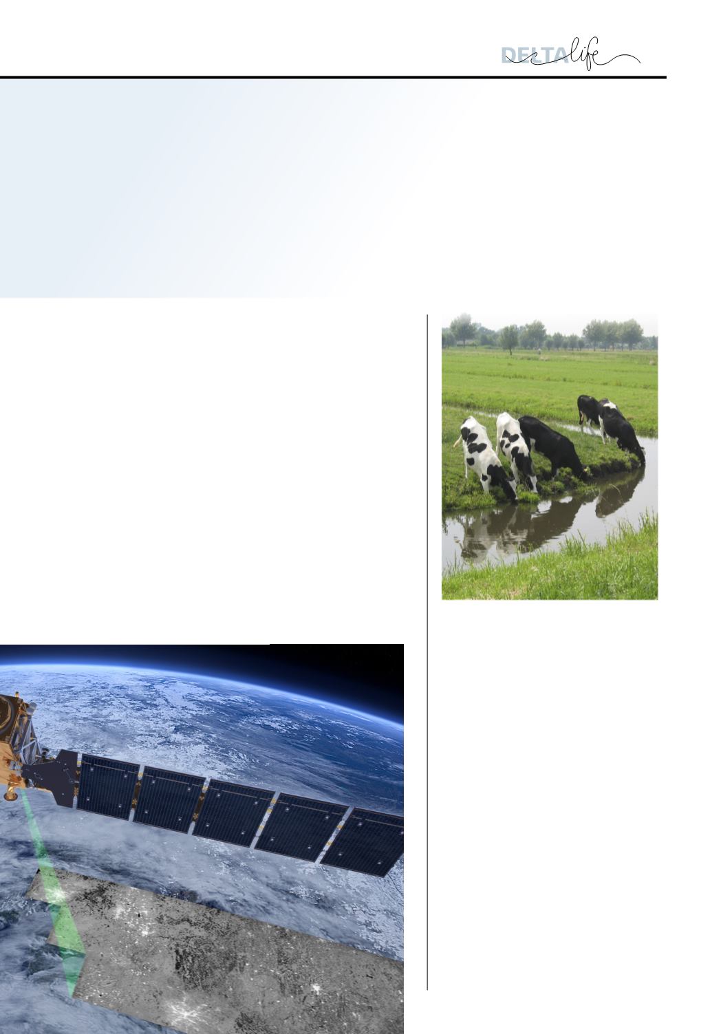
The Netherlands is home to large numbers of
farm animals. The manure that is spread on
fields is the source of large amounts of nitrogen
and phosphate in the soil, groundwater and
surface water. To assess the status of the surface
water in agricultural areas, water authorities
conduct surveys. A national analysis of the
resulting data by Deltares has shown that
water quality in agricultural areas is improving
slowly. However, samples from half of the
173 monitoring sites in these areas still fail
to comply with the standards set out in the
Water Framework Directive for nitrogen and
phosphorus. Not only does this involve risks
for public health and nature, the European
commission may also impose sanctions on
the Netherlands. So steps need to be taken to
improve water quality further.
Roads are vulnerable to climate change because
they are not designed to cope with intensive or
long-lasting rainfall, or intense heat and dryness.
In collaboration with our European partners,
Deltares is developing methods and tools for
European road management agencies to determine
the impact of climate change and the measures
required. One of these tools is the quick scan that
will allow agencies to identify, in just a few quick
steps, the sections of their road networks that are
most vulnerable to extreme weather conditions. In
that way they can decide which roads need work
and when.
QUICK SCAN FOR
CLIMATE RESILIENCE OF ROADS
WATER QUALITY
IN
AGRICULTURAL AREAS
IMPROVING SLOWLY
ATLAS SHOWS
NATURAL CAPITAL
Nature delivers services that are vital for people: drinking water or
protection against flooding, for example. Just like all the other EU
member states, the Netherlands is mapping out these ‘ecosystem
services’ with the aim of presenting them clearly in a Digital Natural
Capital Atlas. Deltares was asked by the Ministry of Infrastructure
and the Environment to produce the atlas in collaboration with the
National Institute of Public Health and the Environment (RIVM),
Alterra and other research institutes. That involves the development
of maps that show the extent to which the ecosystem is able to
deliver ecosystem services and to what extent people use them. By
monitoring the status of the natural system and determining the
value it has for society as a whole, government agencies can take
well-informed decisions about the use of water and the subsurface.
The atlas will be opened officially on 22 September.
IMAGE: © ESA/ATG MEDIALAB